About us
Turning Weather Data into Business Intelligence

Our Mission
At meteoblue, we are dedicated to delivering the highest-quality weather and climate data for any location on land or sea, anywhere in the world. By leveraging advanced science and technology, we transform complex meteorological data into actionable insights—empowering individuals, businesses, and governments to make informed decisions with confidence.
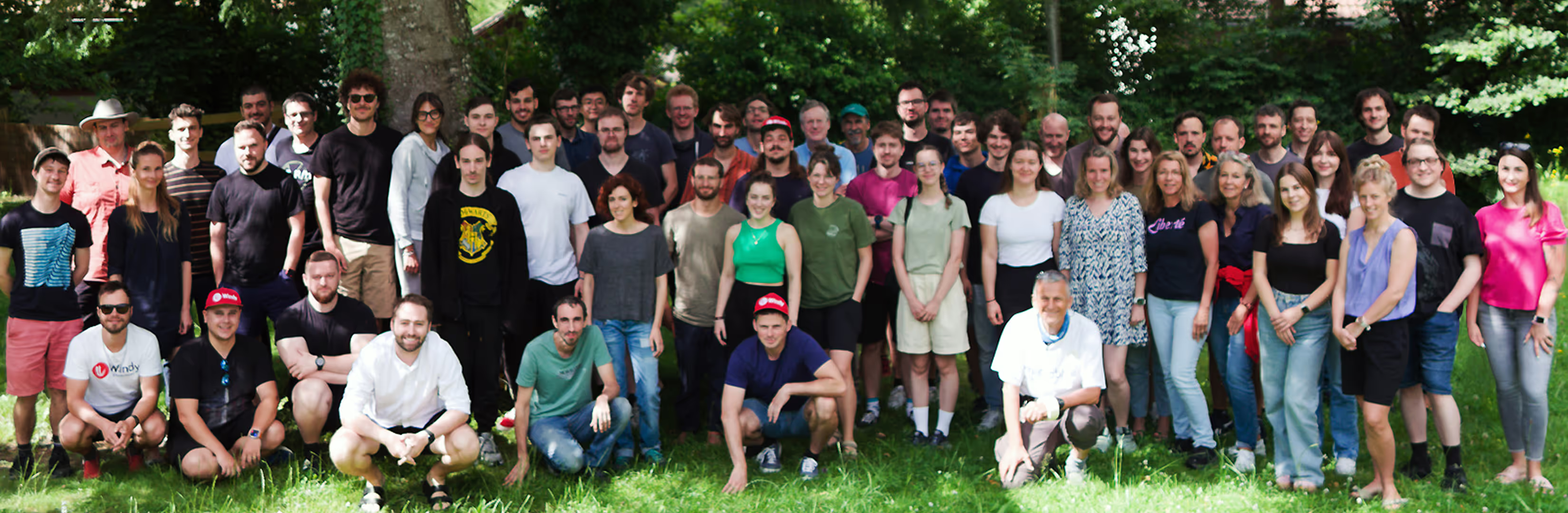
Our Team

Board member

Board member

Board member

Board member


Our History
Founded in 2002 at the University of Basel, Switzerland, meteoblue developed high-resolution weather models to improve forecast accuracy. Launched commercially in 2006, meteoblue has since led innovations in weather forecasting, including the AI-powered MultiModel approach, which integrates data from over 40 global models to deliver highly reliable predictions.
In 2024, meteoblue entered a new phase of growth through a majority acquisition by Windyty, S.E., strengthening its position as a global leader in weather data services.
First proprietary simulation model (NMM2, Switzerland)
Was published on the website of the University of Basel, with 2 km spatial resolution, hourly intervals and daily updates.
Wind flow movie
Meteoblue revolutionised weather data visualisation by adding particle animation overlay to the wind forecast map layer.
myMap Server
A unique tool to make your own meteorology maps – for everyone.
Astronomy Seeing
Meteoblue designed this comprehensive feature for astronomy enthusiasts, enabling them to view all necessary information in one simple chart.
More local domains
We added continent-wide weather models covering the aforementioned locations
Global location search
First service to enable users to search for any location globally
point+
We unveiled our premium weather forecast service
MOS forecasts
For high precision requirements – we spearheaded a new high-accuracy post-processing technology for forecast and historical weather data
Android app
Our first mobile app for Android users
Weather archive
First global hourly weather history for every place in the world – started with 5 years, extended to 30 years in 2014
MultiModel forecasts
First publicly available diagrams with multiple weather models
Meteogram Short-term Verification
The first meteogram showing users the accuracy of our forecast with actual measurements
history+
The first hourly global 30-year online weather archive for end users with data available within seconds
Dynamic weather maps
The first fully zoomable web-based map interface displaying weather data via interactive weather maps
Dataset API
We revolutionised the weather data market by allowing access to our entire weather database via Dataset API
mLM
meteoblue Learning MultiModel, a pionieering post-processing technique, comparing data from multiple forecast models against objective measurements, bringing forecasts to the highest publicly documented accuracy
Global satellite images
The first global high-resolution satellite imagery, displayed in our unique dynamic weather maps interface
Global satellite and radar composite
First seamless satellite and radar composite available globally, producing a unique weather data visualisation
Global Weather warnings
Displaying regional weather warnings for almost all countries of the world
Climate predictions
meteoblue is the first company to introduce a series of climate diagrams, displaying climate change simulations based on different IPCC climate change scenarios, available to the general public
Climate Risk Assessment
Location-specific reports for climate risk from 2030-2100, fully compliant with the EU Taxonomy
New mLM
The new version of the meteoblue Learning MultiModel brings forecast accuracy to unparalleled levels for temperature, wind speed, and dew point
Personalisierte Lösungen
Transform your operations with cutting-edge weather insights.
