Strengthening Infrastructure with Climate-Ready Intelligence
High-resolution climate data and hazard projections to assess exposure, extend asset lifespans, and align investments with future risks.


How We Support Infrastructure in Urban Resilience
Asset-Specific Heat & Stress Analysis
Our projections identify exposure to extreme heat, freeze-thaw cycles, and surface stressors, helping engineers plan for pavement degradation, rail buckling, and heat-related failures.
Flood and Precipitation Hazard Modelling
We supply future rainfall intensity, flood-prone zone analysis, and surface runoff indicators to guide stormwater design, drainage systems, and site selection.
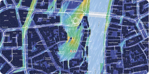
Storm impact on structures
With multi-decade forecasts of wind intensity and storm likelihood, we support structural assessments for bridges, tall buildings, and exposed utilities.
Why Infrastructure Leaders Trust meteoblue
Scientific Approach, Conference-Validated
We bridge the gap between climate science and urban planning by delivering data that supports real-world design, policy, and investment strategies.
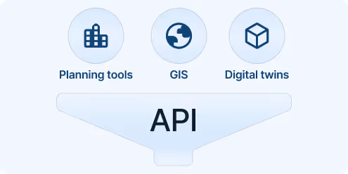
Seamless integration into planning workflows
Reports, APIs, and platform tools can be integrated into GIS systems, BIM environments, or asset management software.
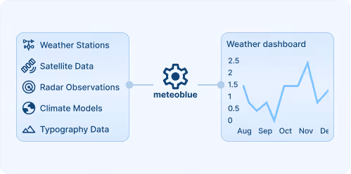
Data Built for Infrastructure Risk Modelling
We provide the climate parameters and temporal resolution needed for engineering assessments, not just generic climate summaries. Location-specific projections that match the spatial resolution of roads, tunnels, buildings, and utilities.
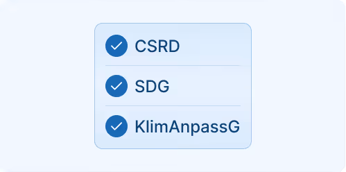
Scenario-Driven, Regulatory-Aligned Outputs
We provide the climate parameters and temporal resolution needed for engineering assessments, not just generic climate summaries. Location-specific projections that match the spatial resolution of roads, tunnels, buildings, and utilities. Our projections support CSRD, EU Taxonomy, and funding proposals – enabling compliance, investment justification, and project certification. Reports closely aligned with the regulations of CSRD, ESRS, and EU Taxonomy.
800+
Climate Risk Reports sold & delivered across infrastructure partners worldwide
75+
Infrastructure clients across multiple countries and asset types
100+
Cities with a real-time infrastructure hazard assessment
meteoblue is a well-suited partner with expertise in weather sensors and data management. Our partnership has helped us effectively communicate the value of measurements for reducing heat in urban areas to city planners, while the integration of IoT technology advances our goal of fostering climate-resilient and sustainable urban environments.
.avif)
Explore our Weather APIs
Premium Weather API
High-resolution forecasts, historical weather data, and interactive meteograms for any location worldwide.
City Climate API
Urban-scale climate data and indicators for heat, flood risk, and thermal comfort to support resilient city planning and analysis.
Weather Warnings API
Real-time severe weather alerts with customisable thresholds and geographic targeting for operational safety.
Climate Data API
Historical climate data and validated projections for risk assessment and ESG reporting.
Personalised solutions
Transform your operations with cutting-edge weather insights.
