Identify and Assess Physical Climate Risks
Screen any location worldwide for 28 physical climate hazards, compare current and future risk across scenarios, and see which sites need closer attention. Results are delivered as standardised reports, structured data or through the Climate Data API.




High-resolution climate hazard data for better risk decisions
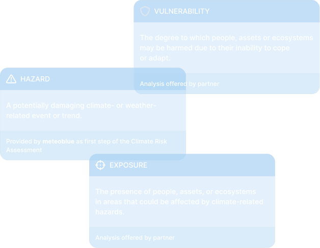
meteoblue provides location-specific climate hazard data and risk indicators that support organisations in assessing physical climate risks. Combined with your own asset and exposure information, the results inform resilience planning and further analysis.
Why ESG Leaders Choose meteoblue
Data you can trust, anywhere on Earth
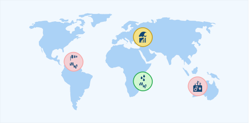
Our models provide consistent, location-specific outputs no matter how remote or urban the target area. Available for any coordinates worldwide with the same IPCC-based datasets, consistent methodology and high-resolution projections up to 2100.
From climate science to practical insight
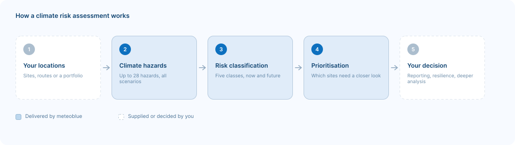
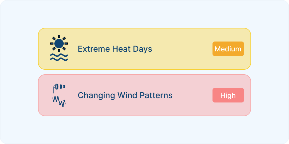
We deliver data that supports real-world decisions, risk frameworks, and stakeholder needs. With 28 climate hazards classified into 5 risk classes (EU Taxonomy), red-flag system identifying action-required risks, and separation between current and future risk, you get decision-ready intelligence, not just raw climate data.
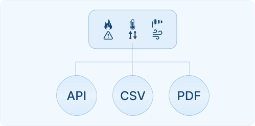
One assessment, three ways to receive it
Climate Risk Reports deliver standardised PDF assessments for individual locations. Multi-location projects add structured CSV outputs and portfolio summaries that rank your most critical sites. The Climate Data API provides indicators and projections for integration into your own workflows.

Aligned with international frameworks
Our climate indicators are structured to support disclosure under CSRD and ESRS, the EU Taxonomy and TCFD. meteoblue Climate Risk Reports have been used successfully within audited reporting processes; the disclosure itself remains yours to file.

Download a Climate Risk Report for the location of Basel
A sample report for Basel is available for download - consistent climate data can be generated for any location globally, providing the essential comparability.
Our Experience in Climate Risk Assessment

Case Study: High-Resolution Climate Modelling for the Swiss Rail Network
meteoblue provided SBB and Allianz Fahrweg with high-resolution climate data and long-term projections to reassess neutralisation temperature standards across Switzerland's rail network.

meteoblue and KPMG Norway Partner to Deliver Climate Risk Assessments
meteoblue and KPMG Norway have formed a strategic partnership to deliver site-specific climate hazard, exposure and vulnerability data for Norwegian companies.
The climate risk analysis of meteoblue serves the geo-physical dimensions of the EU taxonomy in a scientifically sound, spatially high-resolution and detailed way for the climate-relevant variables. Major auditing firms have meanwhile audited and certified meteoblue climate risk analysis procedure.

Climate products for risk assessment
Climate Risk Report
Standardised, site-specific assessments covering up to 28 climate hazards, with risk ratings for any location worldwide.
Climate Data API
Climate indicators, risk classifications and raw variables across all RCP and SSP scenarios, ready to integrate into your own systems.
Personalised assessment
Understand your physical climate risks with transparent, science-based data.
