The Hidden Infrastructure Risk During Heatwaves
Extreme heat tends to reveal infrastructure vulnerabilities that remain mostly invisible during normal weather conditions.
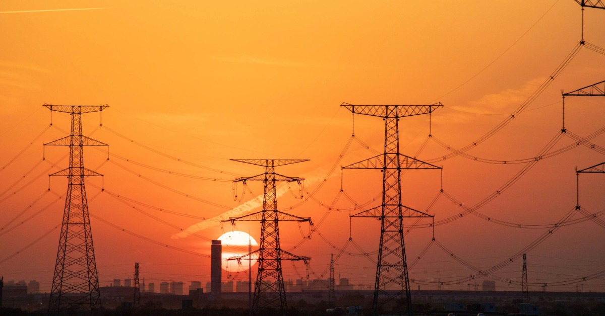
Road surfaces soften. Rail tracks deform. Power lines sag under peak electricity demand. Cooling systems lose efficiency precisely when they are needed most. In some cases, bridges, substations and transport systems must temporarily reduce operations to avoid damage or failure.
When heat puts multiple systems under pressure
The pressure rarely stays confined to a single sector. Heatwaves simultaneously increase electricity demand, water consumption and cooling requirements across households, hospitals, transport networks and industry. At the same time, high temperatures can reduce the operating efficiency of energy infrastructure itself. Thermal power plants become more difficult to cool, while lower river levels and warmer water temperatures can limit generation capacity during prolonged hot periods.
.png)
Why cities experience heat differently
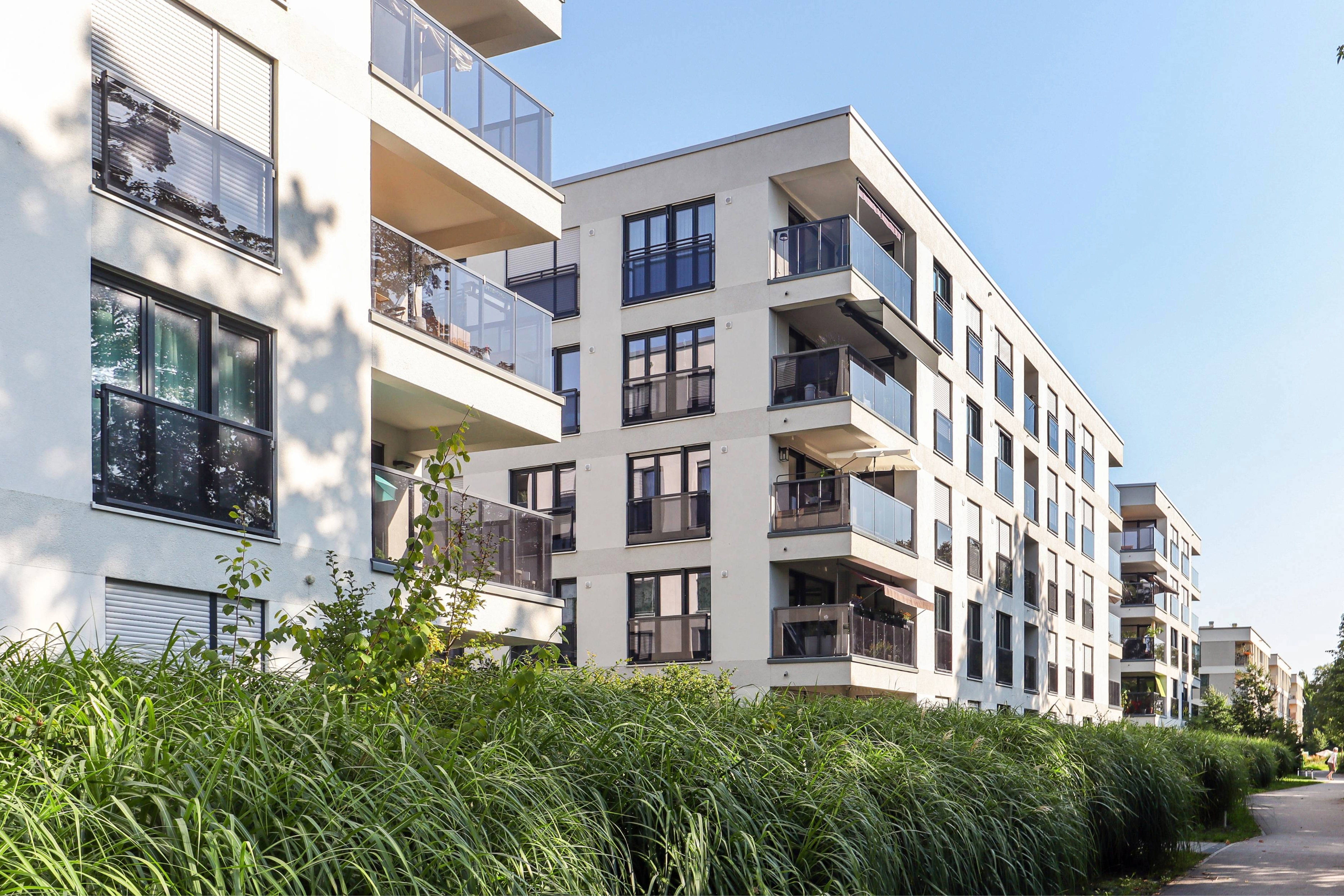
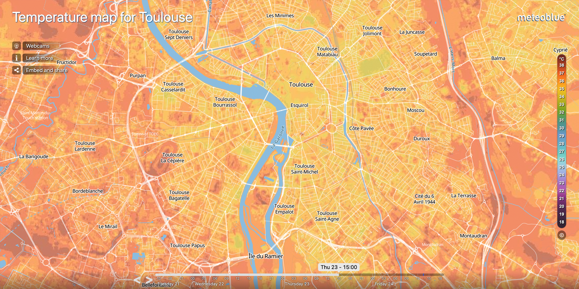
Urban environments add another layer of complexity. Concrete, asphalt and dense building structures absorb heat during the day and release it slowly overnight, keeping nighttime temperatures elevated long after sunset. In many cities, temperature differences between heavily built-up districts and greener neighbourhoods can reach several degrees during warm nights.
The operational consequences extend beyond infrastructure. Construction work slows under prolonged heat exposure. Outdoor labour productivity declines. Hospitals face additional pressure from heat-related illnesses while simultaneously managing higher cooling demand. Transport systems experience more frequent maintenance interruptions as materials expand beyond their designed operating range.
Infrastructure designed for a different climate
Many infrastructure systems currently in operation were designed around historical climate conditions that no longer fully reflect present-day extremes. The issue is not only the absolute temperature itself, but how frequently prolonged heat now exceeds the assumptions used during planning and construction decades ago.
For cities and infrastructure operators, adaptation increasingly depends on detailed local monitoring rather than broad regional averages alone.
Identifying urban heat at local scale
meteoblue City Climate solutions combine AI-driven urban climate modelling, satellite imagery and local observations to analyse how heat develops across cities at very high spatial resolution. Urban Heat Maps help identify local hotspots, nighttime heat retention and vulnerable neighbourhoods, providing detailed insight into how temperatures vary across urban areas during prolonged warm periods.