WaterApp - When water becomes scarce
WaterApps
The WaterApps consortium brings together a diverse range of organisations. It includes universities, private sector business partners, public authorities, and local institutions in Ghana and Bangladesh. The program is funded by the Netherlands Organisation for Scientific Research and coordinated by the Water Systems and Global Change group at Wageningen University.
The WaterApps research program aims to develop tailor-made water information services with and for farmers in peri-urban areas in the urbanising deltas of Accra, Ghana and Khulna, Bangladesh. The goal is to improve water and food security in river deltas.
WaterApps reaches its objectives through interconnected research components. The insights are used to co-create and test water information services that include knowledge sharing platforms and virtual communities.
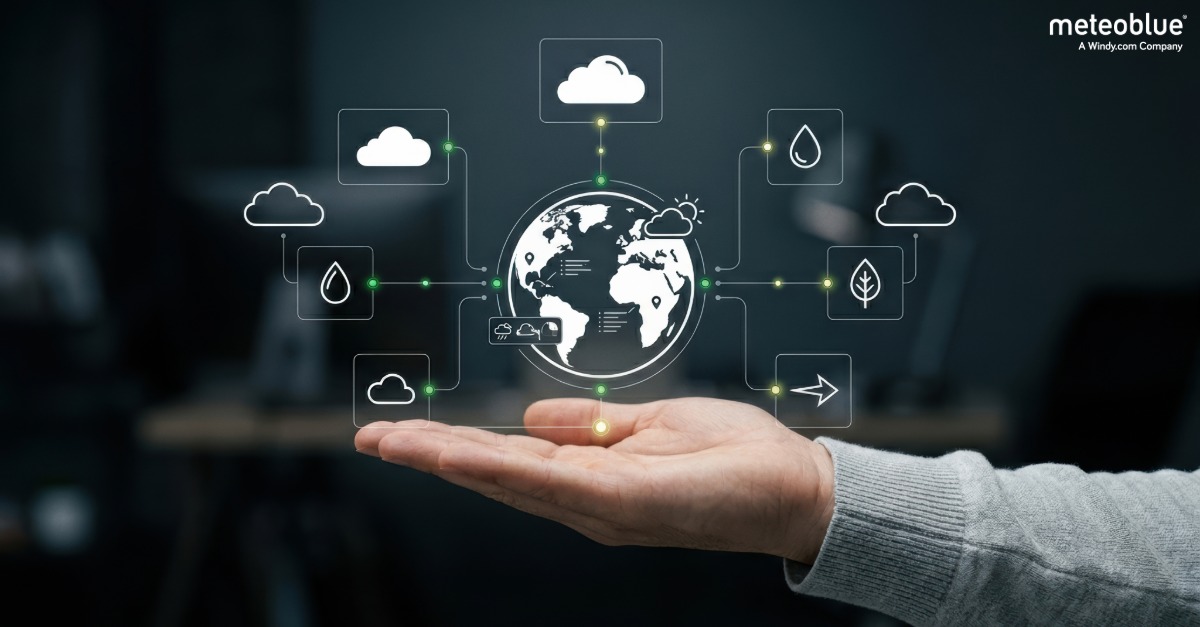
meteoblue is the weather data provider for the project. meteoblue provides high quality short term forecasts, shares transparent background on forecast development, and offers detailed context to support understanding and trust in the forecasts.
Customer success story
When water becomes scarce
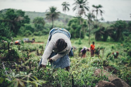
Imagine you are a farmer living near a river delta close to a large city in the developing world. Population growth and climate change make access to water more scarce and unpredictable. This uncertainty creates anxiety about harvests and the livelihood of your family.
The key question becomes how farmers can obtain reliable and accurate information about current and future water availability. For farmers in the regions of Khulna in Bangladesh and Accra in Ghana, WaterApps provides a solution.
The WaterApps project
The aim of WaterApps is to develop and offer custom-made water information services for small and medium-sized private farmers in peri-urban river delta areas. In these regions, water level fluctuations have major impacts on farming outcomes.
How it is done
WaterApps combines several approaches.
- It uses information technology through a mobile phone app and applies modern methods for knowledge sharing.
- It integrates numerical weather model output with observations of groundwater trends and river flows.
- It adapts decision-making support and governance knowledge to local situations.
Background and co-creation with farmers
The consortium includes partners from public and private sectors and local institutions in both Ghana and Bangladesh. The program is funded by Dutch Organisation for Scientific Research and coordinated by Wageningen University.
meteoblue supplies premium weather information for Tamale and Ada in Ghana and for Khulna in Bangladesh.
From the beginning, farmer involvement was treated as essential. In 2015, the consortium organised workshops with farmers, governance actors, and ICT professionals in both countries. The resulting co-production of water information services improves livelihoods, strengthens capacity for sustainable food production, and provides a workable model for farmer-oriented services in other urban-rural delta zones.
How it works in practice
To monitor progress and increase awareness, the WaterApps team visited local farmers and conducted educational workshops. These workshops showed how weather information can support farming and daily life.
Local weather information available on the meteoblue website served as a useful teaching aid. As a result, meteoblue became popular among local farmers and the wider public.
Samiron Golder, a farmer in Khulna, describes the impact.
“As a farmer, my aim is to be engaged with modernisation. We should not be afraid of natural disasters, but by being engaged with weather information services we can try to reduce the risks of disasters. [...] With our many disappointments, the meteoblue forecast information is like a piece of light for us.”
Ela Ganguli from Khulna works as both a farmer and a farming consultant. She shares how she uses meteoblue.
"I usually got agricultural information from the agricultural office and related apps. I believe that climate is the basis of all agriculture. From meteoblue, I receive weather updates for 7 days, 15 days, and 3 months about temperature, humidity, rainfall, wind speed, thunderstorms, etc."
Future plans
The WaterApps concept continues to prove itself as a workable model. There is hope that the project scope will expand to additional areas.
Christoph Ramshorn, Chief Cooperation Officer of meteoblue, explains that the project aligns closely with meteoblue values and that meteoblue intends to remain committed to delivering Swiss-quality weather data to any number of locations worldwide as the initiative grows.
Related Articles
VitiMeteo - Prognostic system for crop protection in viticulture.
An overview of meteorology and its importance in weather forecasting.
How to build a network of weather stations in Africa - TAHMO
A detailed analysis of how climate change is altering weather patterns.
Latest Articles

Weather Timing and the Success of Field Operations
Modern farming depends on timing. Discover how weather intelligence helps optimise spraying, harvesting, irrigation and other field operations while reducing weather-related risks.
What Makes Weather Data "Business Ready"?
What makes weather data suitable for business applications? Explore the key factors behind reliable forecasts, robust APIs and long-term data consistency.